 by
by Weather radar plays a crucial role in monitoring ever-changing weather patterns across regions. By emitting radio waves and analyzing their reflections, weather radar provides valuable insights into precipitation, wind, and other atmospheric phenomena. This helps meteorologists accurately forecast weather and issue timely warnings. Let’s take a closer look at how weather radar works and its applications.
What is Weather Radar?
Weather Radar, also known as Doppler weather radar, is a type of radar used to locate precipitation, calculate its motion, and estimate its type (rain, snow, hail etc.). Modern weather radars are primarily Doppler radars that can detect the motion of raindrops in clouds and provide information about their speed and direction of movement.
Weather radar transmits pulses of microwave radio energy downward from an antenna. When this energy hits a raindrop or other particle in the atmosphere, it scatters in all directions. Part of this scattered energy returns to the antenna, where it is recorded electronically. By analyzing properties of the returned signal like intensity, polarization and Doppler shift, meteorologists can deduce valuable details about the precipitation.
How Does Radar Detect Precipitation?
The key principle behind weather radar’s ability to detect precipitation lies in the Mie scattering phenomenon. Simply put, when microwave pulses interact with precipitation particles like raindrops, they experience elastic scattering. The magnitude of this scattering depends on the size, shape and number of particles hit by pulses within a particular radar resolution volume.
Larger precipitation particles like raindrops cause stronger scatter compared to smaller ones like drizzle droplets. As the returned scattered signal strength is proportional to the number and size of hydrometeors, meteorologists can deduce the intensity and structure of precipitation using weather radar. Doppler capabilities further help determine the motion of precipitation areas – whether approaching or receding – based on frequency shift of signals.
Applications of Weather Radar
Some major applications of weather radar include:
– Nowcasting: Radars help nowcasters monitor current weather conditions at very high temporal resolution. They track storms and fronts, locate heavy rainfall cores, and issue warnings for hazards like flash floods or severe thunderstorms.
– Quantitative Precipitation Estimation: Through sophisticated algorithms, weather radar quantifies precipitation amounts, rates and accumulations over time. This assists hydrologists and water resource managers.
– Storm Surveillance: Radar helps detect initiation and growth of thunderstorms, revealing storm structures, inflows and outflows. combined with lightning data, it helps identify severe storms with hail or tornado potential.
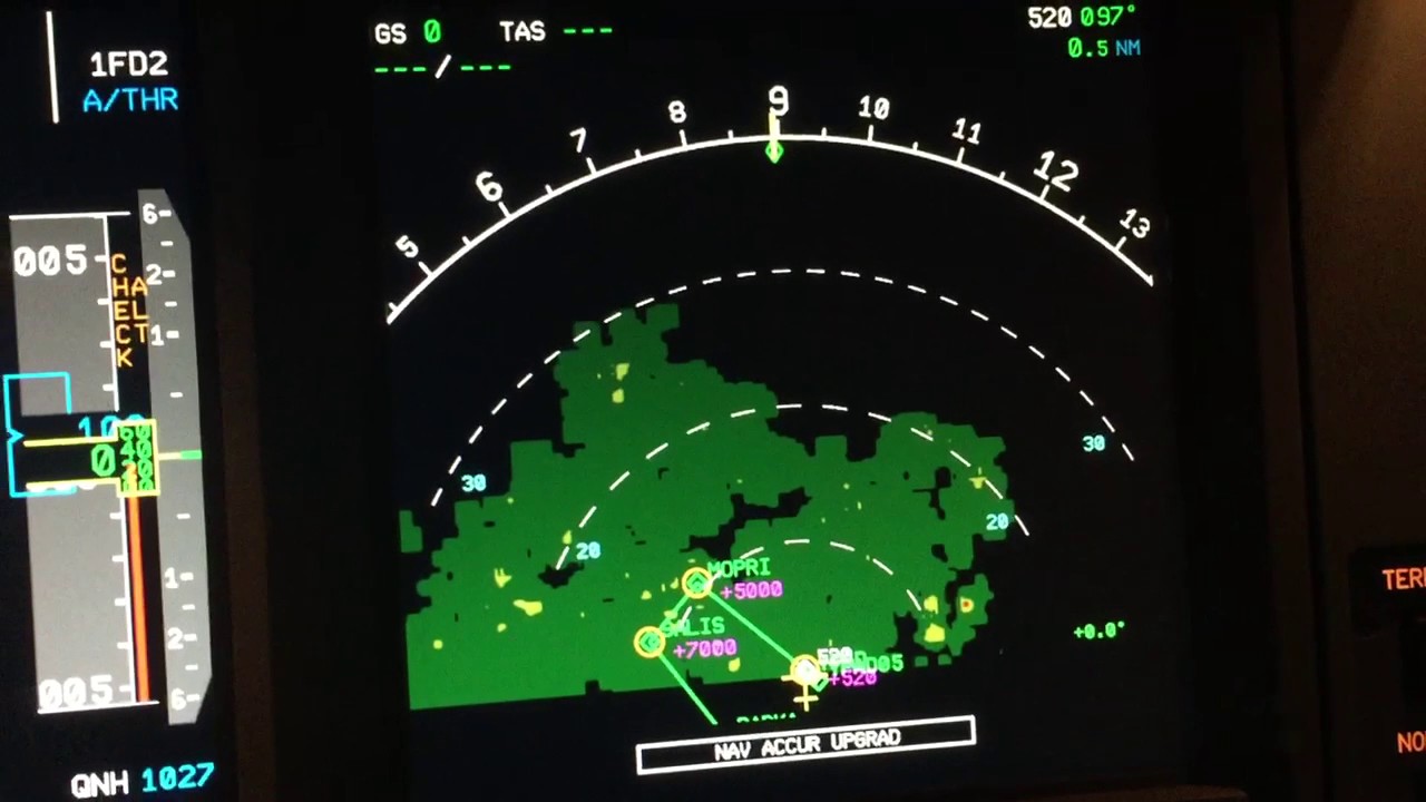
– Aviation Weather: Terminal Doppler Weather Radars at airports scan incoming weather to aid pilots, air traffic controllers and dispatchers with real-time guidance on convection, windshear and visibility.
– Research: Beyond operations, radar data supports atmospheric research through detailed analysis of storm kinematics, microphysics and dynamics. It enhances understanding to improve forecast models.
Weather Radar Networks
To maximize weather surveillance across large areas, most national weather services operate networks of Doppler radars situated strategically. For example, the USA has over 160 C-band Doppler radars maintained by NEXRAD while over 30 S-band radars cover the UK under the auspices of the Met Office.
Data from these radars is quality controlled, mosaicked and incorporates observations from rain gauges for calibration. Dynamic updating ensures high temporal resolution. Radar scans typically occur every 5-10 minutes to track fast-evolving weather. Networks enable multi-dimensional visualization, time interpolation and quantitative applications.
Weather radar has revolutionized hydrometeorological monitoring with its ability to provide valuable insights into precipitation and other parameters invisible to our eyes. As forecasting techniques advance and radar technology evolves, it will continue enhancing our understanding of atmospheric processes and extreme weather. These benefits ultimately aid efforts to minimize impacts of hazardous weather.
*Note:
1. Source: Coherent Market Insights, Public sources, Desk research
2. We have leveraged AI tools to mine information and compile it